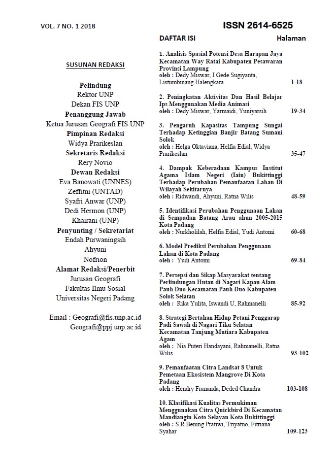
IDENTIFIKASI PERUBAHAN PENGGUNAAN LAHAN DISEMPADAN BATANG ARAU TAHUN 2005-2015 KOTA PADANG
Main Article Content
Abstract
Abstract
This study aims to: 1) Know the land use in Batang Arau border in 2005-2015 2) Know the changes in land use in Batang Arau border in 2005-2015.
This research is a quantitative research using descriptive approach. Date used Quickbird Image in 2005 and Image SPOT 6 2015. Analysis using overlay method of land use map with the help of ArcGis 10.1 software.
In this research, 1) Land use in river Arau Border in 2005 is dominated by settlement covering 236,639 Ha, mixed plantation covers 100,409 Ha, rice field covers 91,946 Ha and forest is 15,266 Ha. While the dominant land use in 2015 is still the same as the land use in 2005, the settlement covers 250,295 ha, the area of mixedplantation land is increased by 130,096 Ha with the width of rice field decreasing about 43,48 Ha and the forest land area is increasedabout 20,428 Ha. 2)The change of land use are reduce with widespread rice fields -14,412 Ha, while the expansion of land use is a settlement with an area of 22,986 Ha, a forestwith an area of 10,104 Ha, a mixed garden with an area of 17,072 Ha.
Keywords: Land Use, Change, Border Line
Downloads
Article Details

This work is licensed under a Creative Commons Attribution-NonCommercial 4.0 International License.

