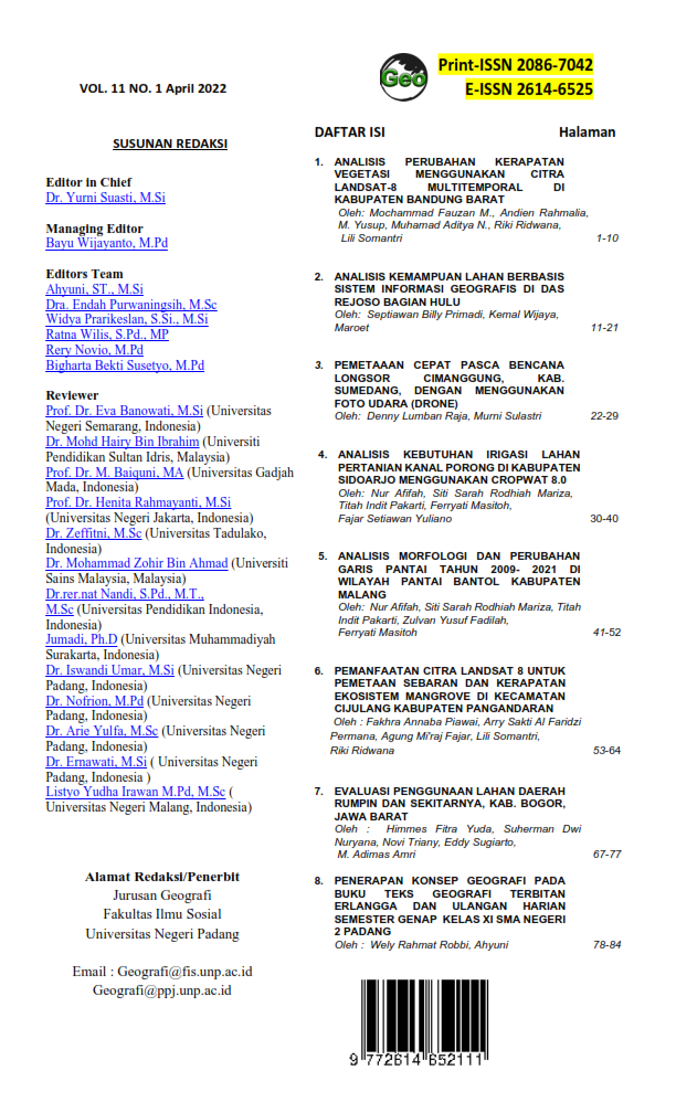
PEMETAAAN CEPAT PASCA BENCANA LONGSOR CIMANGGUNG, KAB. SUMEDANG DENGAN MENGGUNAKAN FOTO UDARA (DRONE)
Main Article Content
Abstract
Many people are buried in the subsequent landslide in Cimanggung, Sumedang Regency shows that rapid mapping during the first landslide is necessary in order to detect areas prone to subsequent landslides. The aim of this study is to conduct rapid mapping using Unmanned Aerial Vehicle (UAV) technology in disaster-affected areas in Cimanggung, Sumedang Regency, West Java Province by identifying changes in the shape of the affected area and slopes before and after the landslide. This mapping uses the DJI Phantom 4 RTK UAV model which was flown at a height of 100 meters from the research location with an area of 6134 m2. The results of this mapping will produce output in the form of photos and digital elevation models (DEM) in areas affected by landslides. The slope profile at the research location at the time of the landslide based on aerial photos was 14.50 and before the landslide based on the RBI Map it was 15.80. While the slope around the landslide incident location based on aerial photo data is 19.20. The results of the analysis of the causes of landslides from the geomorphological aspect show the area affected by the landslide which is right in the valley that was built into a settlement. Weathering of rock is one of the key factors controlling the landslide.
Downloads
Article Details

This work is licensed under a Creative Commons Attribution-ShareAlike 4.0 International License.
References
Andaru, R., dan Santosa, P. B. (2017). Analisis Spasial Bencana Longsor Bukit Telogolele Kabupaten Banjarnegara Menggunakan Data Foto Udara UAV. Jurnal Nasional Teknologi Terapan (JNTT): Vol.1(1) 77-86.
Afif H.A., Rokhmatuloh, Saraswati, R., Hernina R. UAV Application for Landslide Mapping in Kuningan Regency, West Java. E3S Web of Conferences 125.
Comert R., Avdan U., Gorum T., Nefeslioglu H.A. (2019). Mapping of shallow landslides with object-based image analysis from unmanned aerial vehicle data. Engineering Geology 260. 2019
Devoto S., Macovaz V., Mantovani M., Soldati M., Furlani S. Advantages of Using UAV Digital Photogrammetry in the Study of Slow-Moving Coastal Landslides. Remote Sensing 2020, 12, 3566.
Nandi. (2007). Longsor. Handbook. Fakultas Pendidikan Ilmu Pengetahuan Sosial Universitas Pendidikan Indonesia.
Wulan, T. R., dkk. (2017). Pemetaan Cepat Kawasan Terdampak Bencana Longsor dan Banjir di Kabupaten Bangli, Provinsi Bali. Majalah Geografi Indonesia: Vol.31(2) 44-50.

